


PHASE 01
Foundation
rebuild core ecological functions
01. Ecological Baseline
Document starting conditions across soil, water, vegetation, fauna, and human pressure.
02. Hydrology Correction
Restore water movement so rainfall slows, spreads, and infiltrates.
03. Soil Recovery
Rebuild soil structure, organic matter, and microbial life once moisture is retained.
PHASE 02
Structure
rebuild ecological organisation
04. Patch & Microhabitat Design
Create connected habitat patches and refuges that support regeneration.
05. Species Palette & Layering
Introduce locally appropriate species by role, structure, and succession—not numbers alone.
06. Protection & Disturbance
Protect existing habitat and manage grazing, invasive species, movement, fire, and other pressures.
PHASE 03
Resilience
build the loops that never close
07. Monitoring
Track changes in water, soil, vegetation, fauna, and carbon.
08. Adaptive Management
Adjust interventions based on measured response.
09. Long-Term Stewardship
Maintain resilience through continued protection, care, and responsible use.
The Society for Ecological Restoration (SER) authored the international standard for what good ecological restoration is and how it should be judged.
The Global Biodiversity Standard (TGBS) has turned that standard into a certifiable pathway — a site-based assessment scored in the field against defined criteria. Soul Forest at Veltoor is in active assessment now, and every Nature Economic Zone after it will be held to the same bar and audited by the same third parties.

We're not only measured against these standards. We are a founding partners of SER's REVIVE initiative, which exists to make standards-based restoration the default rather than the exception, helping put the same bar we're judged by in front of everyone else.
Every piece of land is different, and data helps us learn the difference.
Every intervention is a hypothesis, checked against what the land actually does.
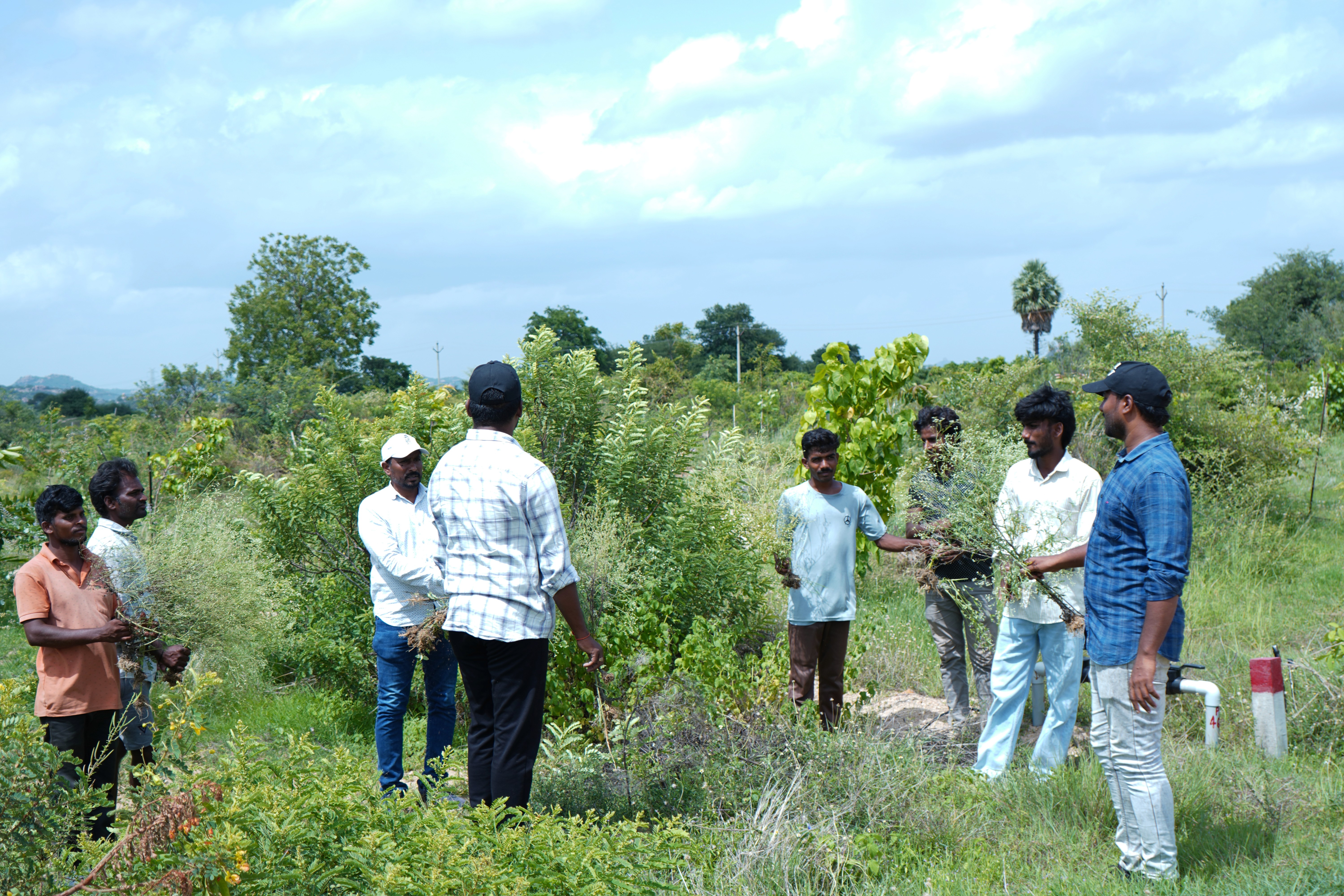
Today at Veltoor, that check is made by hand through field surveys, lab tests, soil cores, and repeated seasonal assessment, externally audited every year. It is accurate, and it does not scale: one team, walking one landscape, a few times a year. So we are building an automated layer alongside it: instruments that record continuously, cost less to repeat, and work the same way on every site. That is what makes the code portable rather than just local.
Each instrument answers one question. Nature is the sum of them. And if restoration is to be understood, funded, and held to account, that sum has to become legible. That is what we are working towards: a Natural Capital Score, where many signals, independently checked, resolve into one verified number per site.
Multi-Layered Measurement
Six distinct layers tracking ecological recovery across every acre.
Field Surveys & Lab Tests
Soil, water, and vegetation measured on the ground.
Satellite Imagery
Change across the landscape.
Drone Surveys
Canopy and structure at close range.
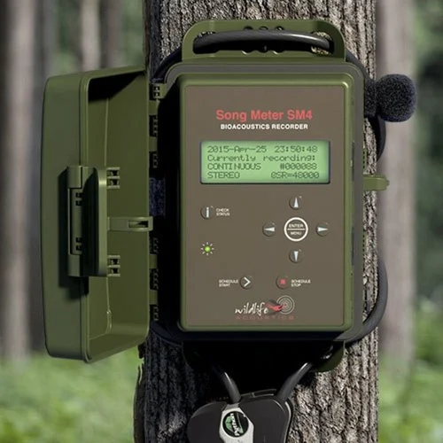
Bioacoustics & Camera Traps
Species presence through sound and images.
IoT Soil & Water Sensors
Change below the surface.
eDNA Analysis
Biodiversity conventional surveys may miss.


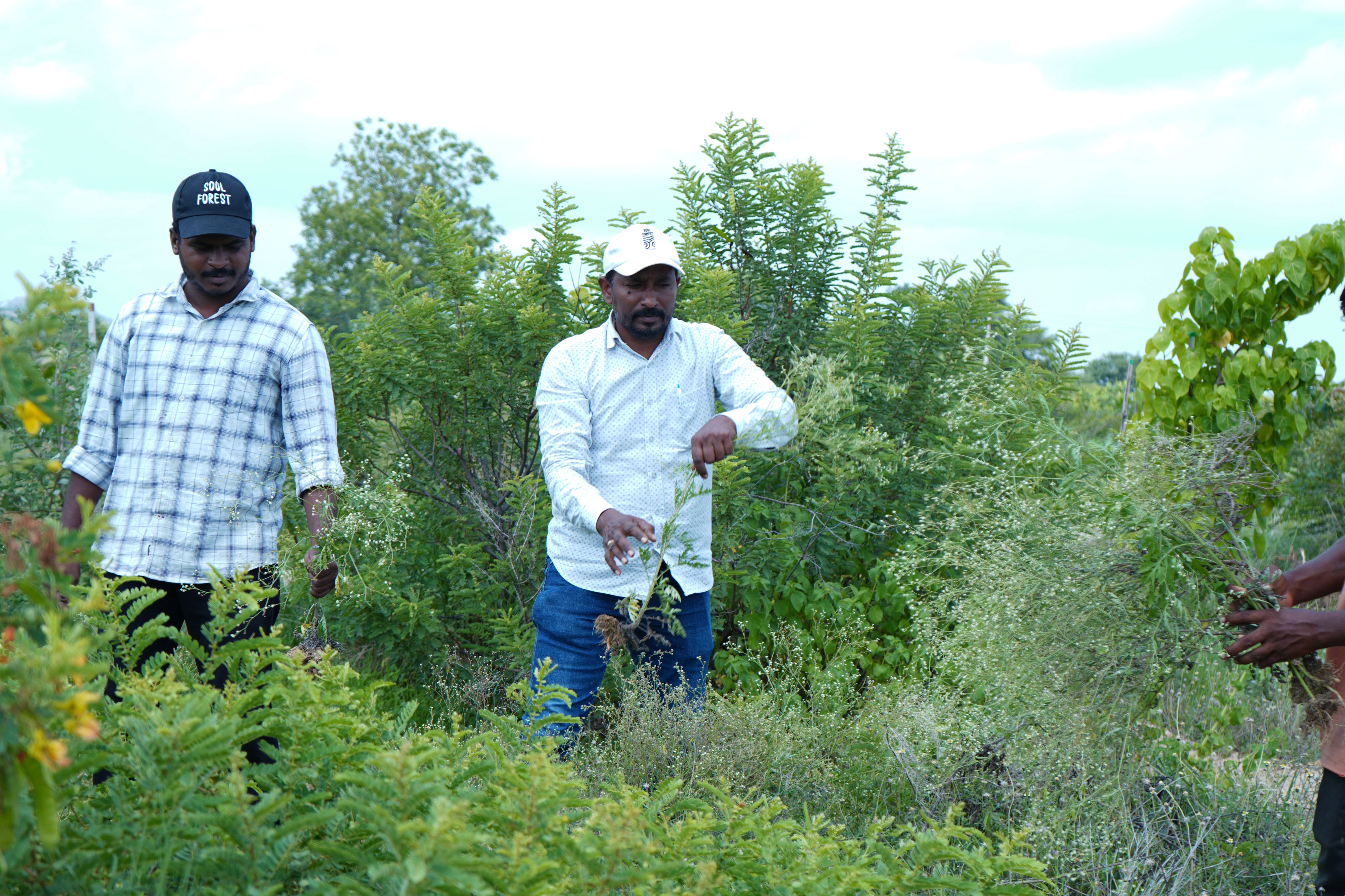

Narasanna Koppula

Dr. Vasudevarao Vaidyula
Scientific advice and long-horizon ecological rigour.

George Gann, Society for Ecological Restoration

